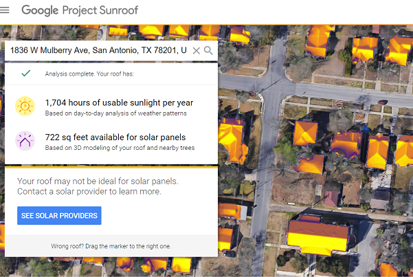
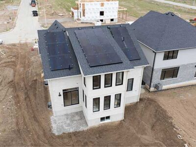
- The progress of rooftop solar installations is often slowed by a shortage of trained professionals who must use expensive tools to conduct labor-intensive structure assessments one by one, say scientists.
- Now UMass Amherst College of Information and Computer Sciences (CICS) researchers are proposing a new, data-driven approach.
- This approach uses machine learning techniques and widely available satellite images to identify roofs that have the most potential to produce cost-effective solar power.
Industry figures show the global rate of solar energy installations grew by 30 percent in one recent year, and the average cost of installing solar has fallen from $7 per watt to $2.8 per watt, making rooftop solar attractive to many more homeowners. But the progress of rooftop installations is often slowed by a shortage of trained professionals who must use expensive tools to conduct labor-intensive structure assessments one by one, say scientists at the University of Massachusetts Amherst.
To automate the process at present, say UMass Amherst College of Information and Computer Sciences (CICS) researchers led by Prashant Shenoy and Subhransu Maji, requires expensive three-dimensional aerial maps using LIDAR technology not available for many areas. Now their team is proposing a new, data-driven approach that uses machine learning techniques and widely available satellite images to identify roofs that have the most potential to produce cost-effective solar power.
Shenoy, Maji and colleagues are presenting their new “DeepRoof” tool this week at the 25th Association for Computing Machinery’s Special Interest Group on Knowledge Discovery and Data Mining (ACM SIGKDD) conference in Anchorage, Alaska.
As Stephen Lee, a Ph.D. student at CICS and lead author, points out, “Solar potential estimation of a roof can substantially benefit homeowners deciding to adopt solar,” but “current automated tools work only for cities and towns where LIDAR data is available, thereby limiting their reach to just a few places in the world.”
The new data-driven DeepRoof approach takes advantage of recent advances in computer vision techniques and uses satellite imagery to accurately determine roof geometry, nearby structures and trees that affect the solar potential of the roof. “DeepRoof estimates can be used to identify ideal locations on the roof for installing solar panels,” Lee adds.
The team trained DeepRoof using different roof shapes and sizes from six different cities to recognize and extract planar roof segments, Lee says. Results show that DeepRoof can identify the solar potential of roofs with 91 percent accuracy. Further, the tool can be scaled to automatically analyze satellite images of an entire city to identify all building roofs with the most solar potential.


Comments